Home » Catalogue » Maps Basket Contents
Search Results
0
Displaying 121 to 138 (of 138 books)
   Title     Price 
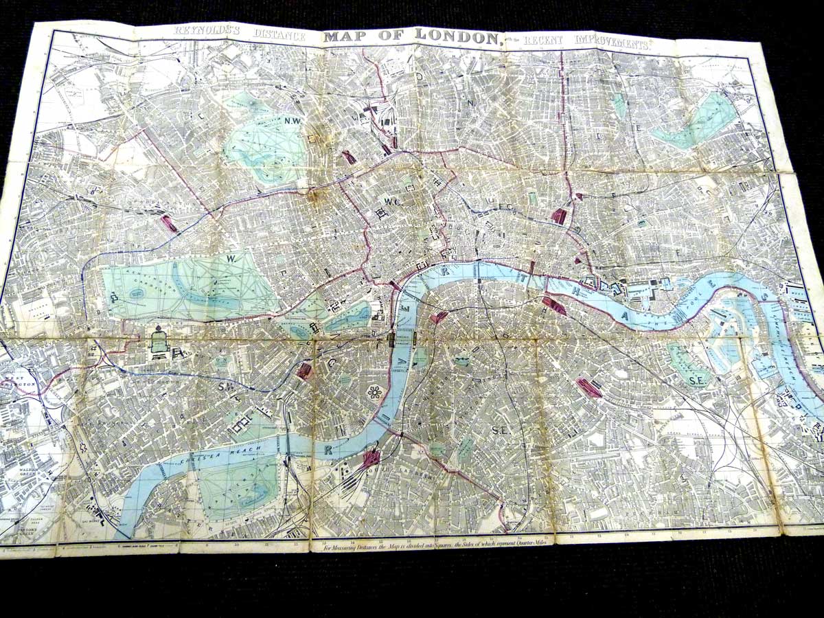
Reynold's Distance Map of London and Visitors Guide With The Recent Improvements.
Reynolds, James
Catalogue No. j1154
More details
 £225.00 
($280.47)
Israel. 3 map set.
Israel. 3 map set.
San-Kaku-Sha
Catalogue No. map97b
More details
 £28.00 
($34.90)
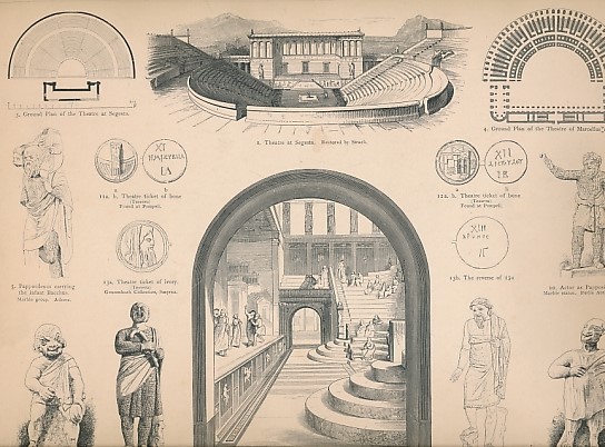
Atlas of Classical Antiquities
Schreiber, Thomas; Anderson, W C F [ed.]
Catalogue No. r1631
More details
 £46.00 
($57.34)
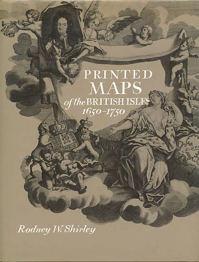
Printed Maps of the British Isles 1650-1750.
Shirley, Rodney W
Catalogue No. k0606b
More details
 £46.00 
($57.34)
Roxburghshire Northumberland. Sheet XXVIII S.E.
Sifton, Praed & Co Ltd.
Catalogue No. map47
More details
 £28.00 
($34.90)
The Illustrated Hand-Book a New Guide for Travelers [travellers] through the United States of America
Smith, Calvin J
Catalogue No. r3543
More details
 £980.00 
($1,221.60)
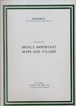
Highly Important Maps and Atlases. Auction Catalogue.
Sotheby
Catalogue No. soth79
More details
 £18.60 
($23.19)
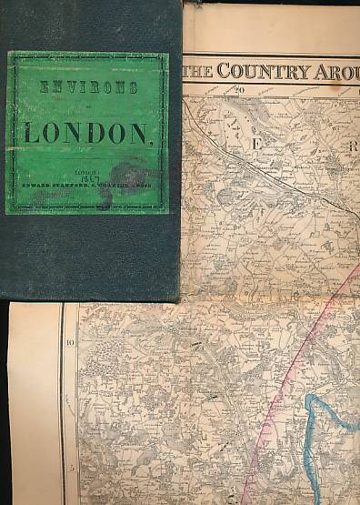
Environs of London. Survey of the Country Around London to the Distance of Thirty-Two Miles from St Paul's. 1867.
Stanford, Edward
Catalogue No. map50
More details
 £260.00 
($324.10)
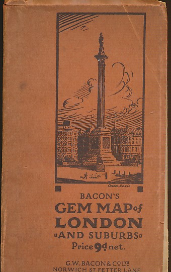
Bacon's Gem Map of London and Suburbs
Stanford, William [ed.]
Catalogue No. bac48e
More details
 £32.00 
($39.89)
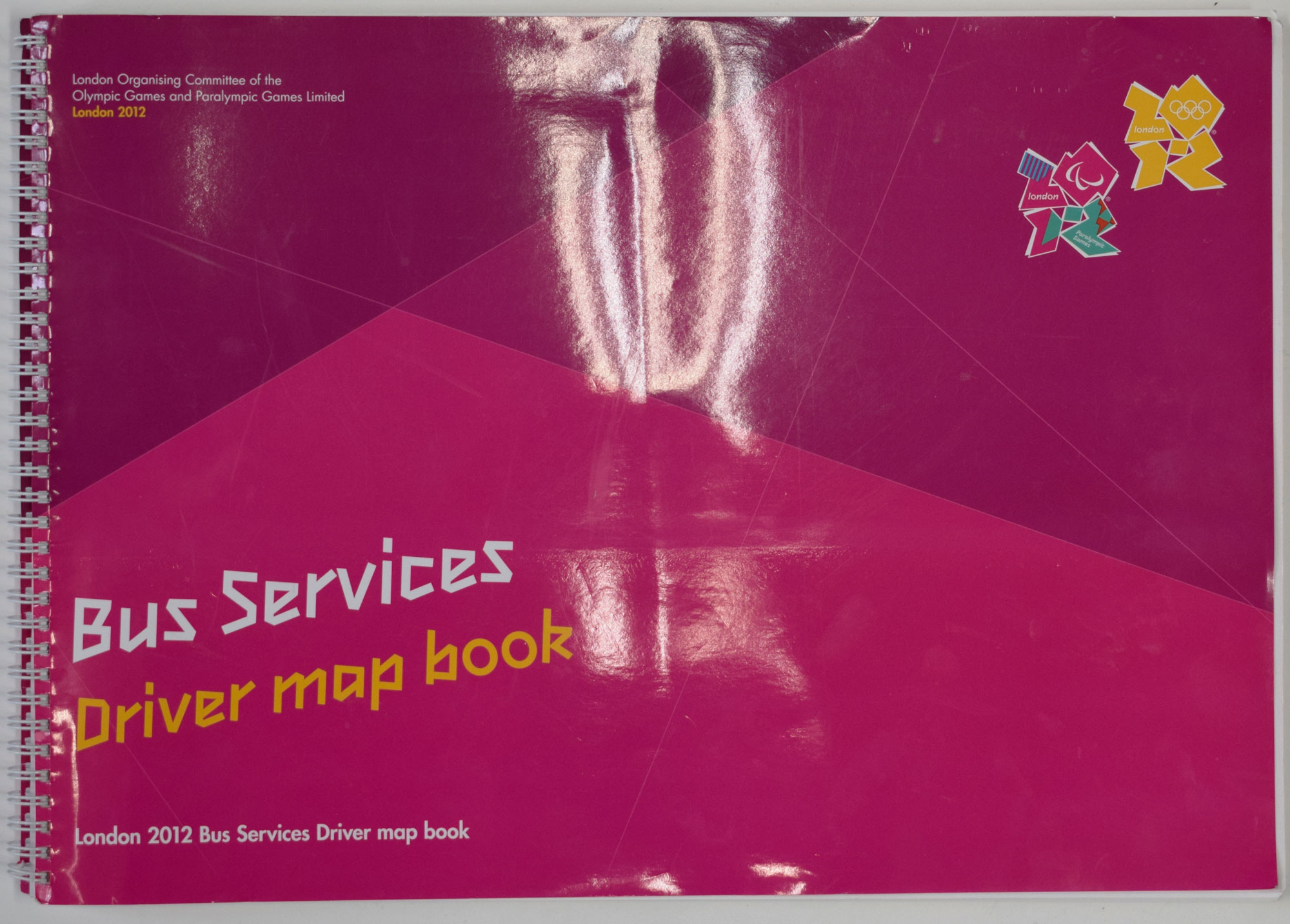
London 2012 Bus Services Driver Map Book
The London Organising Comittee of the Olympic Games and Paralympic Games
Catalogue No. c4445
More details
 £36.00 
($44.88)
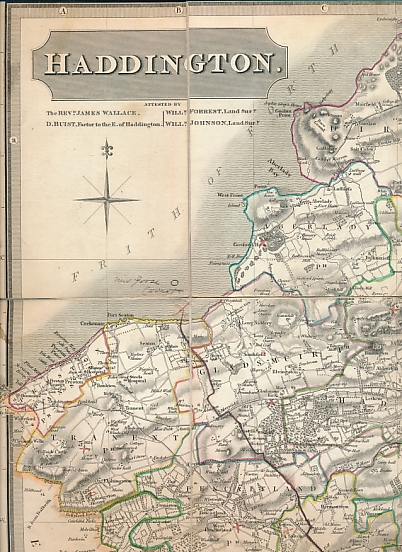
Haddington. 1822 map.
Thomson, John
Catalogue No. a0127
More details
 £46.00 
($57.34)
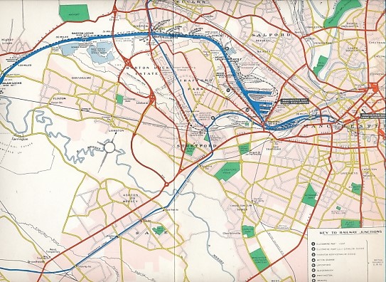
Plan of the Manchester Ship Canal
Thorpe, Don
Catalogue No. e3389
More details
 £18.60 
($23.19)
Dr. Karl von Spruner's Historico-Geographical Hand Atlas
von Spruner, Karl
Catalogue No. g8706
More details
 £150.00 
($186.98)
W H Smith & Son's Plan of London. [1900]
W H Smith
Catalogue No. map59a
More details
 £26.00 
($32.41)
Mapping the World: A History of Exploration.
Whitfield, Peter
Catalogue No. fol917
More details
 £36.00 
($44.88)
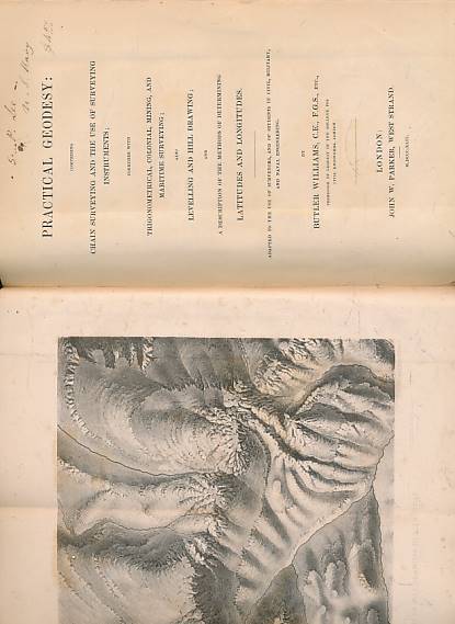
Practical Geodesy: Comprising Chain Surveying and the Use of Surveying Instruments; Together with Trigonometrical, Colonial, Mining, and Maritime Surveying; Also Levelling and Hill Drawing; ...
Williams, Butler
Catalogue No. r1322
More details
 £96.00 
($119.67)
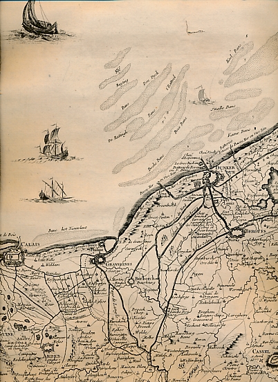
Carte des Pais-Bas. Calais/Dunkerque - Montreuil - Amiens.
[Nolin, Jean-Baptiste, fils]
Catalogue No. map67b
More details
 £76.00 
($94.74)
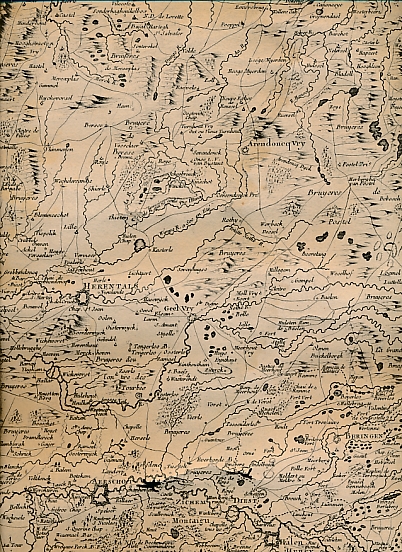
Carte des Pais-Bas. Herentals - Tirlemont - Sedan. Lyndhoven -Maestricht - Arlon.
[Nolin, Jean-Baptiste, fils]
Catalogue No. map67
More details
 £140.00 
($174.51)
Displaying 121 to 138 (of 138 books) Result Pages: [<< Prev]  ... 6  7 

Too many results? Refine your search - click the 'back' button on your browser and add an extra word to your search